
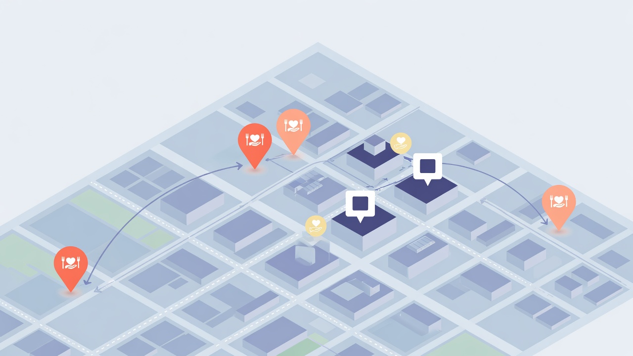
Building a Map Product: Lessons from Logistics Marketplaces (and Careit)
Maps are products, not decorations
Most teams start the same way: drop a map component into the UI, plot a few markers, ship a screenshot, and call it “map support.” That works for a demo. It collapses under real operations.
A map product is software where geography changes what users can do—who they match with, what they claim, which route they drive, what a city can audit. The map is not chrome. It is part of the domain model.
Food recovery is a clear example. Platforms like Careit connect businesses with surplus food to nearby nonprofits, coordinate pickups, and keep records for impact and compliance. Location is not optional: donations only help if the right organization can reach them in time.
You do not need to build food rescue to learn from that pattern. Any marketplace, field service tool, civic dashboard, or logistics app hits the same design questions.
What Careit-style products teach about geography
From public product descriptions and coverage of Careit, a few geographic jobs show up repeatedly:
- Nearby matching — Nonprofits see donations that fit location, preferences, and capacity.
- Pickup logistics — One-time or recurring runs, driver assignment, visible handoffs between donor and receiver.
- Multi-location programs — Corporations and municipalities need visibility across many sites, not a single pin.
- Operational reporting — Weights, receipts, impact metrics, and compliance needs stay attached to the donation event—not floating free of place and time.
Those jobs force a harder architecture than “show markers on Leaflet.”
Lesson 1: Locations are entities, not annotations
In a weak map feature, an address is a string and the marker is cosmetic.
In a map product, every relevant place is a first-class object:
- a stable ID
- coordinates (and optionally a service area polygon)
- hours, capacity, access notes
- relationships (donor site → nonprofit partners → drivers)
That is why GeoJSON—or an internal model that serializes cleanly to GeoJSON—shows up so often in web mapping. A donation site can be a Point. A municipal zone can be a Polygon. A day’s pickups can be a FeatureCollection with properties for status, pounds, and assignee.
If your database cannot answer “which open nonprofits are within X minutes of this donor right now?”, the map will lie to users even when it looks pretty.
Lesson 2: Progressive complexity beats perfect GIS on day one
Careit’s public story moves from a simple marketplace flow (post → match → pickup → records) to deeper program tools (scheduling, multi-location reporting, municipal programs). That progression is a product lesson:
| Stage | User value | Geographic complexity |
|---|---|---|
| 1. Find nearby | Discover partners or inventory | Points + distance/filter |
| 2. Coordinate a visit | Claim, schedule, complete | Points + time windows + status |
| 3. Operate a network | Assign drivers, recurring routes | Many points + sequence + capacity |
| 4. Govern a region | City/county programs, compliance | Boundaries, rollups, audit trails |
Ship stage 1 honestly before pretending you have stage 4. A trustworthy nearby list beats a half-broken route optimizer.
Lesson 3: Matching is the product; the basemap is infrastructure
Users remember whether the system found a viable nonprofit before food spoils—not whether you chose Mapbox or OpenStreetMap tiles.
For logistics marketplaces, ranking often depends on:
- hard filters (open now, accepts prepared food, has cooler capacity)
- soft distance (straight-line vs road time)
- network rules (preferred partners, exclusion lists)
- human overrides (dispatch can reassign)
Geography is one input among many. Design the matching API first; treat the map as a visualization of that decision surface.
Lesson 4: Operational truth lives off the map too
Careit emphasizes receipts, impact metrics, and compliance-ready records. That matters for map products generally: every pin click should open a durable record, not only a popup.
If a city or enterprise buyer cares about audits (for example California SB 1383-style food recovery programs), your geo layer must join cleanly to:
- who posted
- who claimed
- when pickup completed
- measured weight / category
- exportable history
The map is the interface; the ledger is the product.
A practical data sketch for a map product
Whether you are prototyping a food-recovery clone or an entirely different vertical, start with features that survive export and collaboration:
{
  "type": "FeatureCollection",
  "features": [
    {
      "type": "Feature",
      "properties": {
        "id": "donor_downtown_market",
        "role": "donor",
        "name": "Downtown Market",
        "pickup_window": "17:00-18:30",
        "status": "open"
      },
      "geometry": { "type": "Point", "coordinates": [-122.4194, 37.7749] }
    },
    {
      "type": "Feature",
      "properties": {
        "id": "nonprofit_community_kitchen",
        "role": "receiver",
        "name": "Community Kitchen",
        "capacity_note": "Can accept prepared food until 19:00"
      },
      "geometry": { "type": "Point", "coordinates": [-122.4094, 37.7849] }
    }
  ]
}
From there you can:
- validate coordinates and missing properties
- share a read-only map with partners
- remix a copy into an editor for scenario planning
- hand a clean FeatureCollection to an engineer for production APIs
Tools like GeoJSON Cloud are useful in that early phase: open messy spatial files, fix rings and properties, and share a prototype map without standing up full GIS infrastructure. Self-serve tools will not replace a production marketplace—but they compress the time from idea to “does this matching story make sense?”
Build sequence that usually works
1. Interview the spatial jobs
Ask operators to narrate one successful day and one failure. Listen for distance, access, hours, and handoffs—not basemap preferences.
2. Prototype the FeatureCollection
Encode real (or anonymized) sites as GeoJSON. Plot them. Check whether a human dispatcher would trust the picture.
3. Define match rules in plain language
Write rules before code: “Within 15 minutes drive, open now, accepts dairy, not already claimed.” Only then implement ranking.
4. Instrument the map for operations
Status colors, claim locks, stale donations, and incomplete pickups matter more than fancy symbology.
5. Separate prototype from production
Prototypes tolerate imperfect geometry and manual cleanup. Production needs auth, rate limits, offline mobile behavior, and audit trails. When the map becomes core to revenue or compliance, you usually need a purpose-built product—not a pile of one-off notebooks.
If you are past prototyping and need a full product team, that is a different engagement than a browser tool: custom apps, APIs, and infrastructure. Studios such as Cloudowl focus on that kind of software delivery. The point is not “hire someone”—it is to recognize when the map has become the business.
Common failure modes
- Pretty map, wrong inventory — Markers lag the true claim state.
- Address-only thinking — Rural and industrial sites need access notes, not just geocodes.
- Unbounded search radius — Noise kills trust faster than empty results.
- One basemap for every role — Donors, drivers, and city admins need different layers and defaults.
- Geo as an afterthought schema — Retrofitting coordinates onto orders is more expensive than modeling places early.
Closing
Careit-style food recovery products make geography obvious because food, people, and time collide in physical space. The same patterns apply to almost every serious map product: treat locations as entities, ship progressive complexity, put matching and records first, and use maps to make operational truth legible.
If you are exploring a map idea this week, start smaller than a full platform: assemble a honest FeatureCollection of the places that matter, share it with one operator, and ask what the map gets wrong. That conversation is worth more than a polished basemap.
Sources and further reading
- Careit — Food recovery platform overview
- How Careit describes marketplace flow and network roles
- Waste360 interview notes on Careit’s GIS-enabled municipal use
- GeoJSON Cloud editor — browser tooling for FeatureCollections and multi-format import
- RFC 7946: The GeoJSON Format