Blog
News, tutorials, and updates from the GeoJSON Cloud team.

Visualize Large GeoJSON Datasets Online: From Upload to Interactive Map in Minutes
Open GeoJSON files in your browser, inspect features on an interactive OpenStreetMap map, edit geometry, and export the result without installing desktop GIS.
Nov 29, 2025
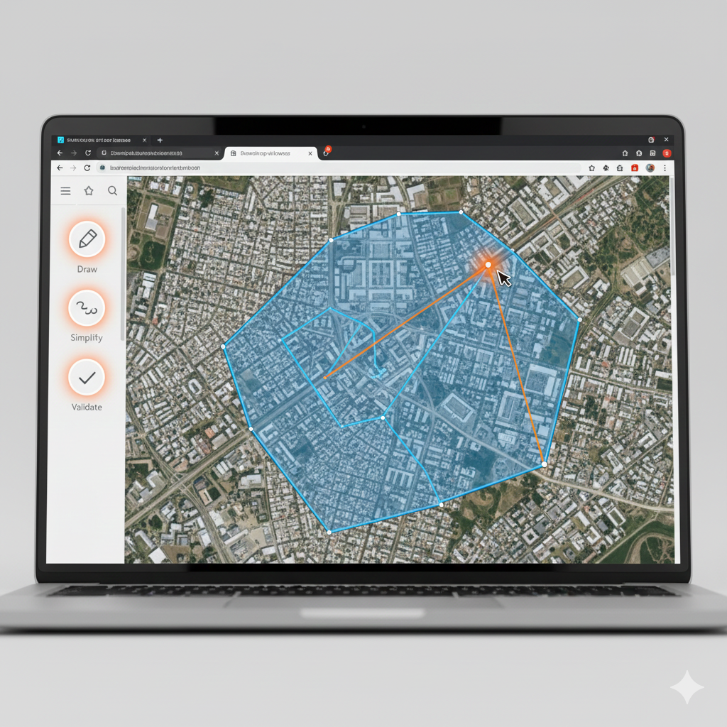
Edit GeoJSON Polygons Like a Pro: Browser Tools for Precision Mapping
Draw and reshape GeoJSON points and polygons on an interactive browser map, update feature properties, and export the result.
Nov 29, 2025

Upload Any Shapefile to GeoJSON in Seconds — No Desktop GIS Required
Convert a zipped Shapefile to GeoJSON in your browser, inspect the features on a map, and download the result.
Nov 29, 2025