Edit GeoJSON Polygons Like a Pro: Browser Tools for Precision Mapping
November 29, 2025
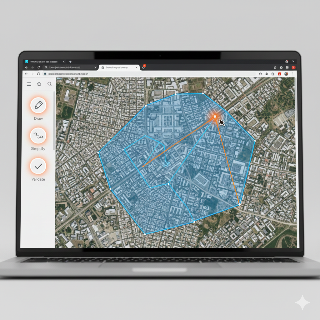
Edit GeoJSON geometry on a map
GeoJSON Cloud provides drawing controls for points, circles, and polygons, plus feature property editing and undo/redo.
Editing workflow
- Open or upload a supported geospatial file.
- Select a feature to inspect it.
- Adjust its geometry or properties.
- Export GeoJSON when the map is ready.
For advanced topology repair or coordinate reference system conversion, use a full GIS such as QGIS.